Nahal Gishron
Walking in nahal Gishron
The route type:
Rappelling trip. (The only granite canyon in
Israel suitable for rappelling trips!)
The canyon is dry all the year round but be wary
about floods during winter rains.
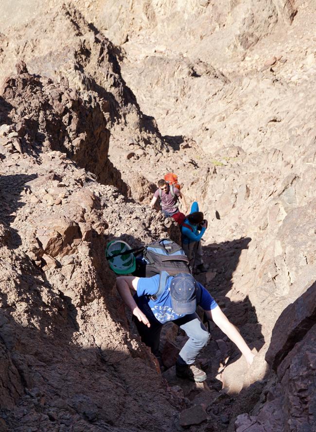
Three of the four
rappelling stations are equipped with bolts. *
You must have your own equipment to complete or reinforce existing stations.
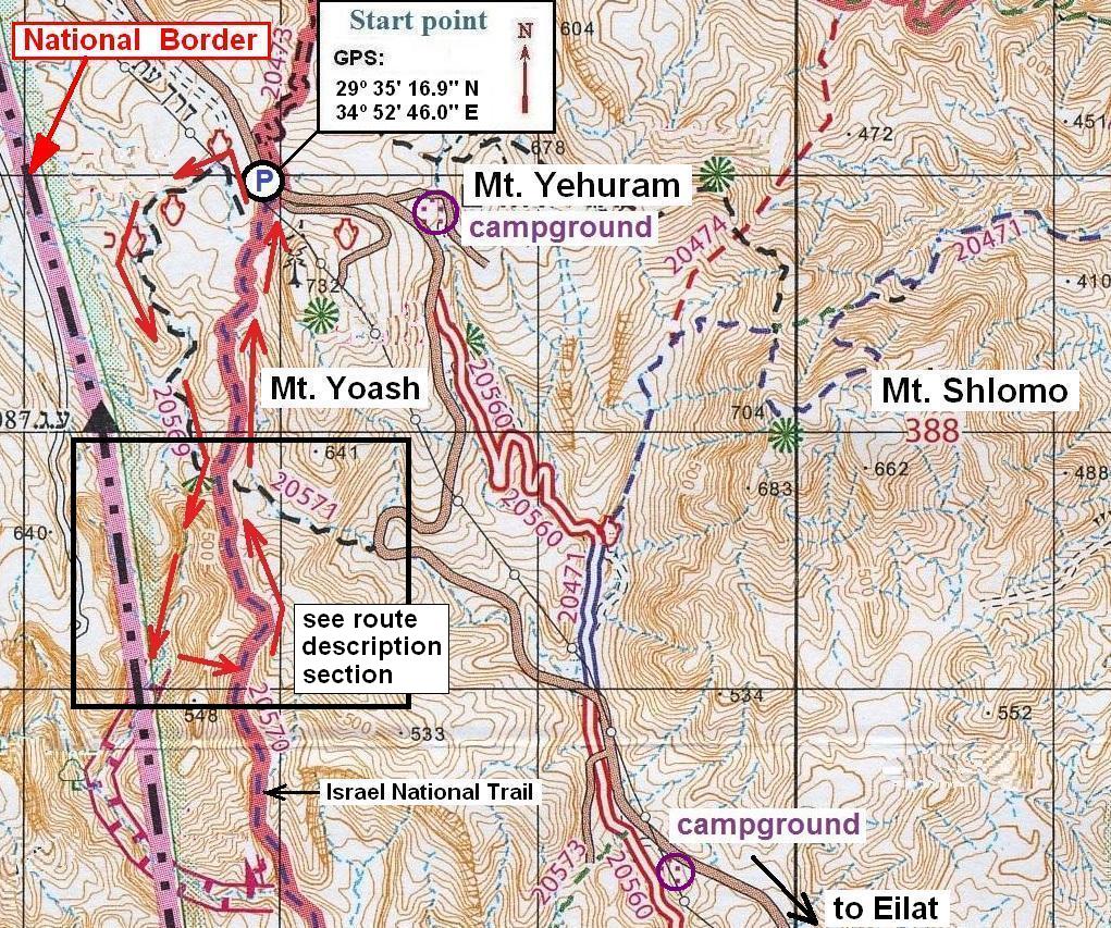
Getting there:
Drive from Eilat
on the road number 12 for 7.8km (measured from the roundabout on the exit from Eilat) to a point where the Israel National Trail crosses
the road (obvious sign on the left side of the road) and park here (GPS: 29º
35' 16.9"N 34º 52' 46.0"E).
The trail marked with black marks starts
from the parking place and leads into the very the upper reaches of nahal Gishron.
Follow the trail that runs along the wadi till a point where it leaves the canyon floor and
turns left to climb out of the canyon (GPS:
29º 34' 43.0"N
34º 52' 35.7"E). Leave the trail and continue down
the canyon for some 100m till the first dry fall (1.9km from the parking spot).
|
|
|
|
|
|
|
|
Route description:
|
|
|
|
|
|
|
|
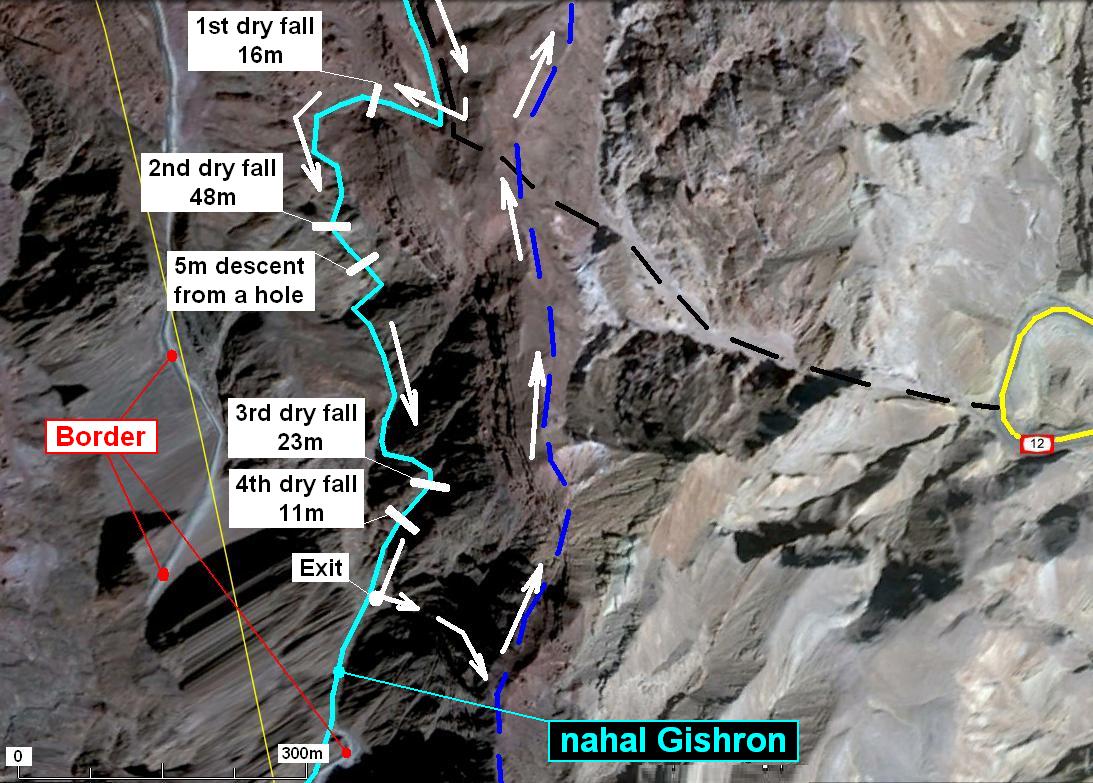
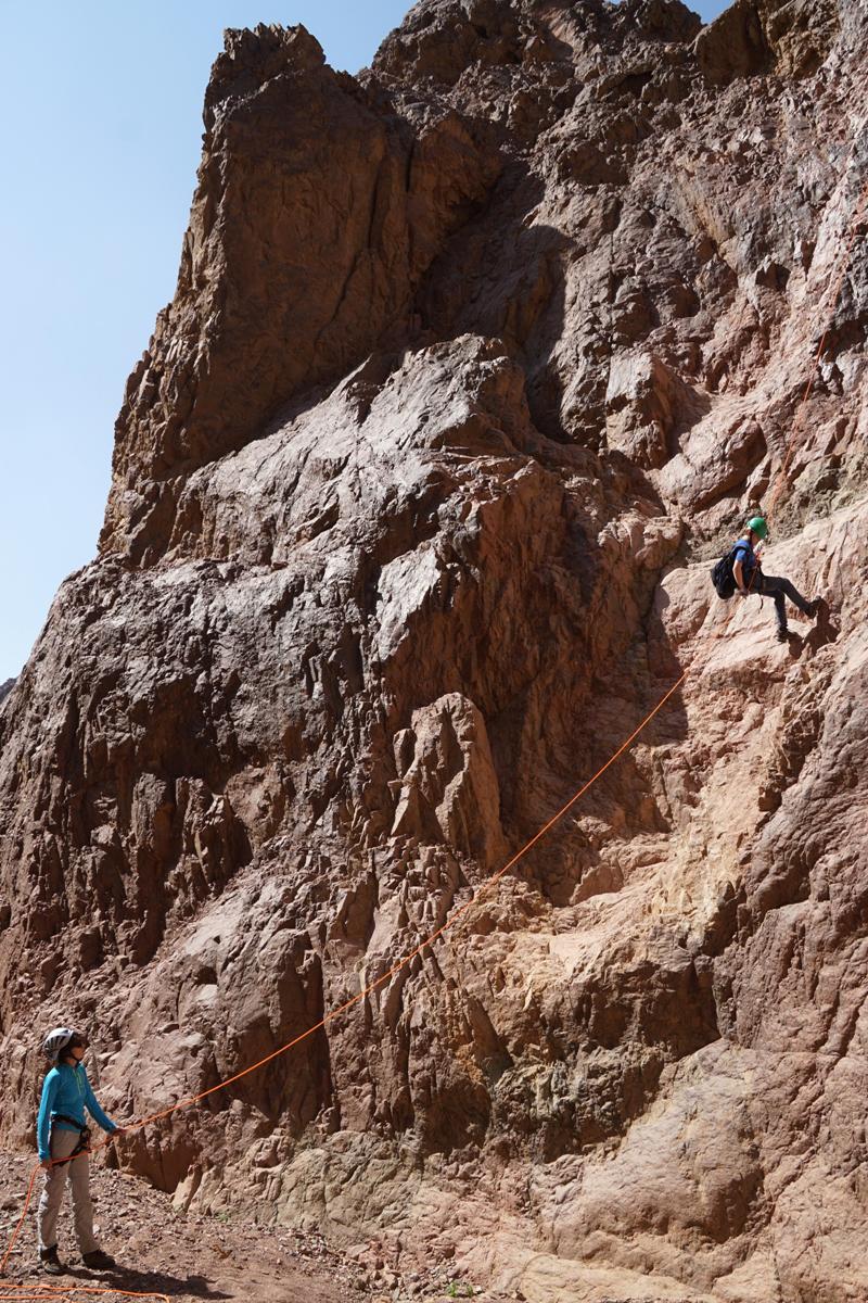
There are 4 dry falls to be abseiled
and the fifth one which is not obligatory:
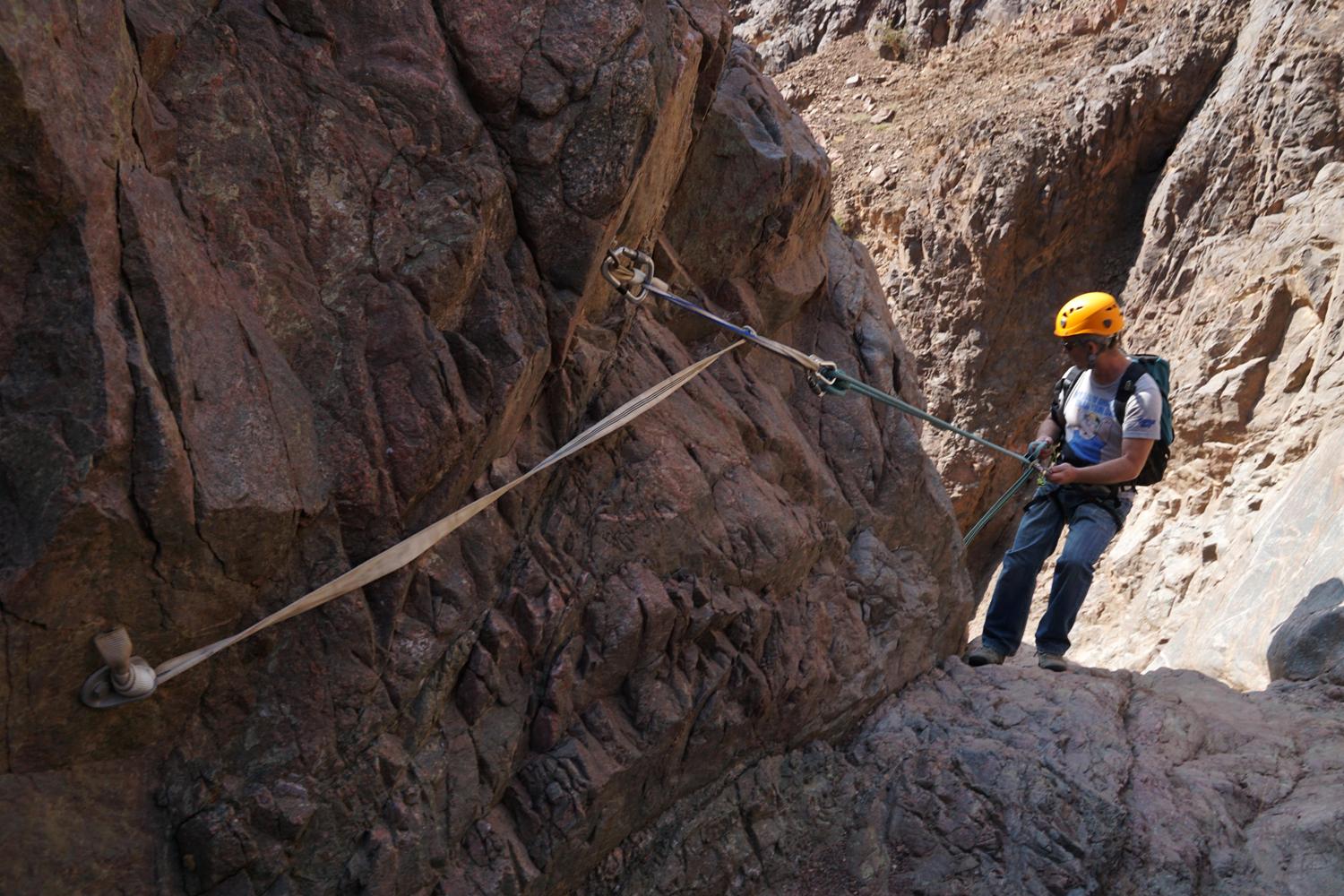
1.
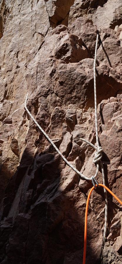
16m (vertical)
Anchor: Two climbing bolts on the left
side. *
|
|
The 1st dry fall rappelling station |
|
The 1st dry fall |
|
|
|
|
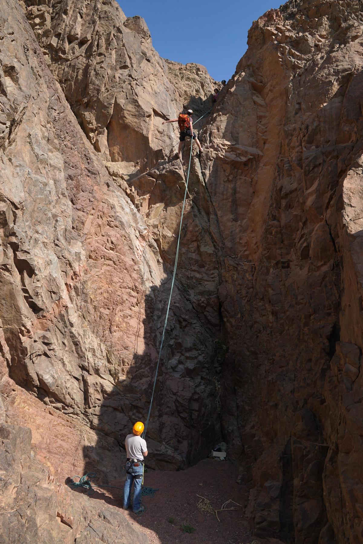
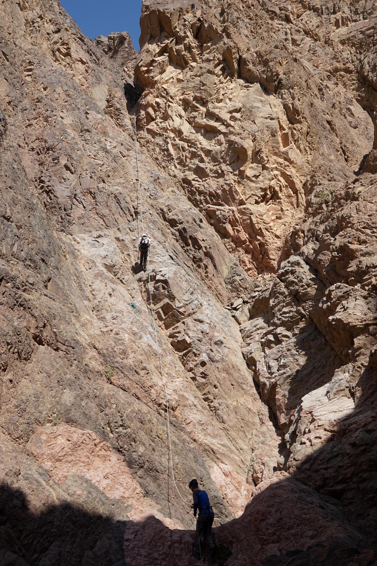
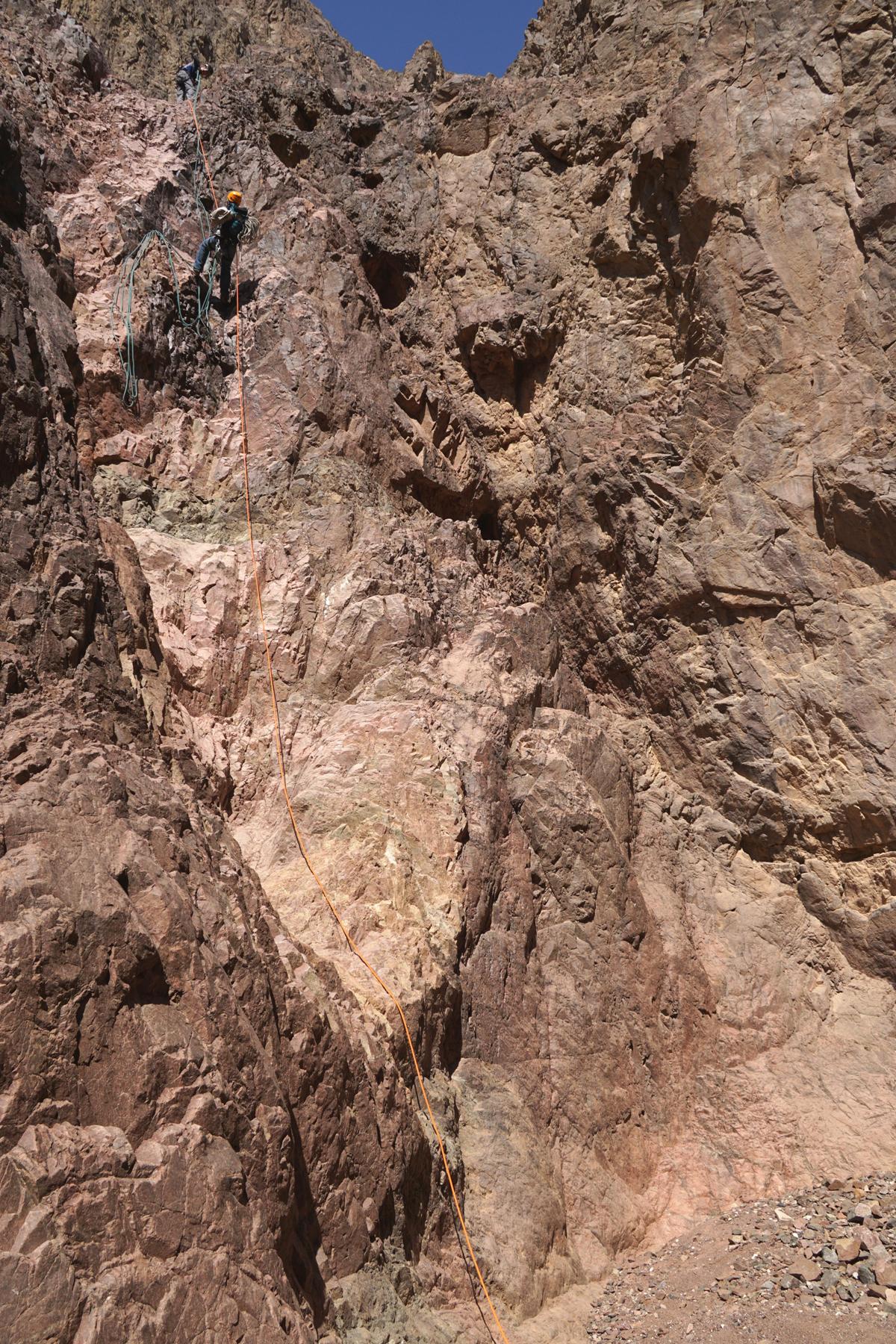
The 2nd dry fall is 200m down the canyon.
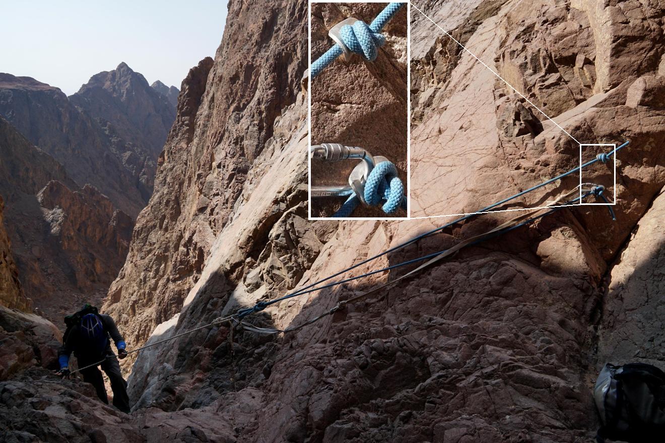
2. 48m (sloped)
Anchor: Two bolts with self-made
"ears" on the right side. *
|
|
The 2nd dry fall rappelling station |
|
The 2nd dry fall |
|
|
|
|
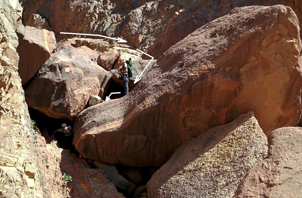
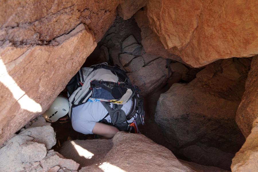
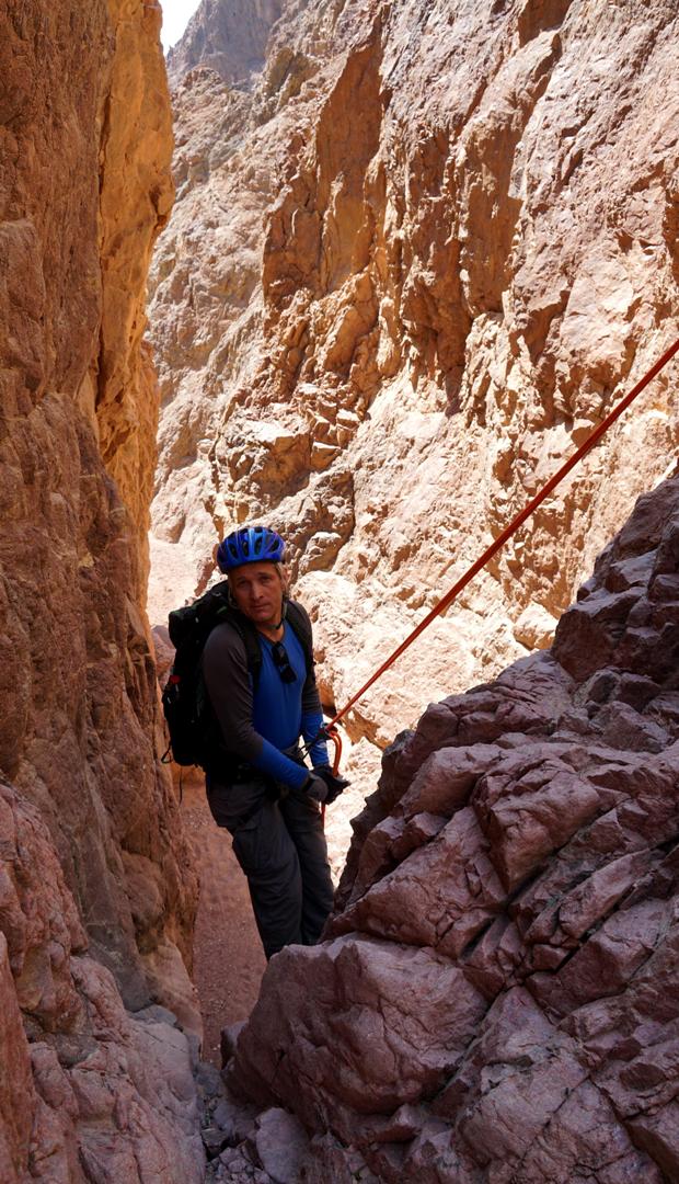
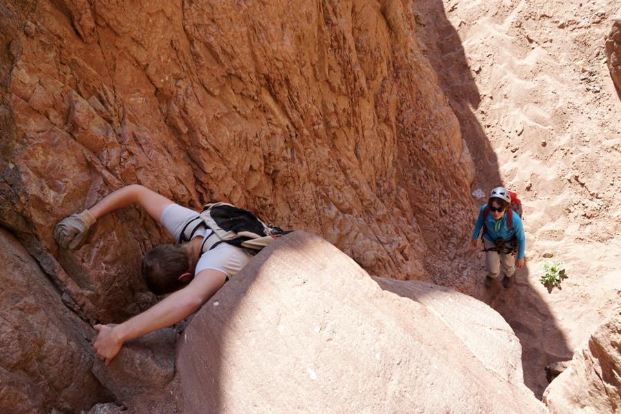
The next obstacle is 50m down the canyon:
A short (5m) rappelling which can be
down climbed as well
The approach is from the left side of the
canyon, then down a big flat boulder and finally - through a big hole.
The rope can be tied to a stone which is
stuck inside the hole.
|
|
Approaching the "hole" |
|
Approaching the "hole" |
|
|
|
|
|
|
Rappelling from the "hole" |
|
|
|
|
|
|
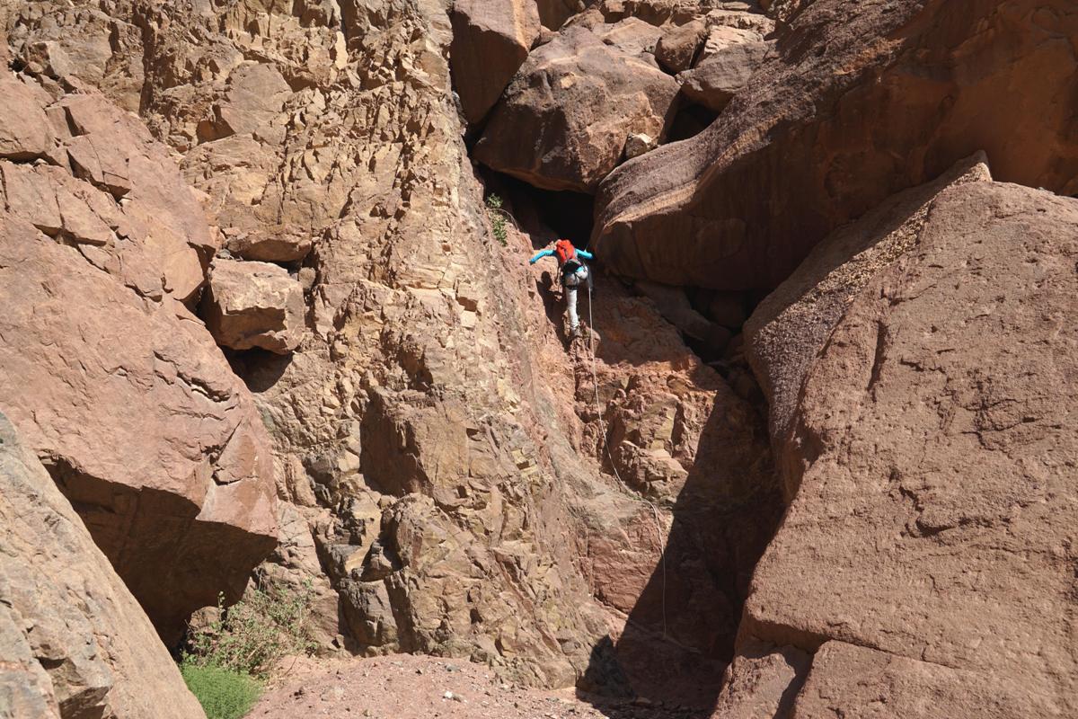
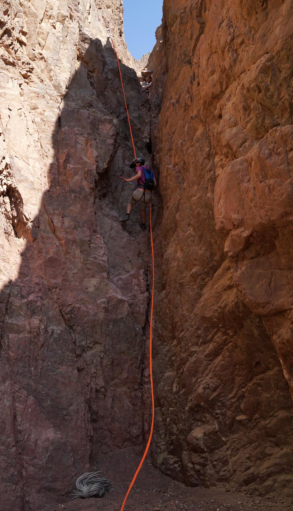
The 3rd and the 4th dry falls
(immediately one after the other) are just 400m down the canyon.
3. 23m if measured from the station (sloped,
vertical in places)
Anchor: one climbing bolt in the left wall
and a rope loop around a stone stuck on the canyon floor. *
|
|
The 3rd dry fall rappelling station |
|
|
|
|
|

|
|
The 3rd dry fall |
|
The 3rd dry fall |
|
|
|
|
The forth dry fall is right after the
third one.
4. 11m (sloped)
Station: you can put a rope loop on a big
spur on the right side. *
|
|
The 4th dry fall rappelling station |
|
The 4th dry fall rappelling station |
|
The 4th dry fall |
|
|
Right from below the 4th dry fall you
have to climb down a small 4m dry fall and that's all…
|
|
|
|
|
|
|
|
|

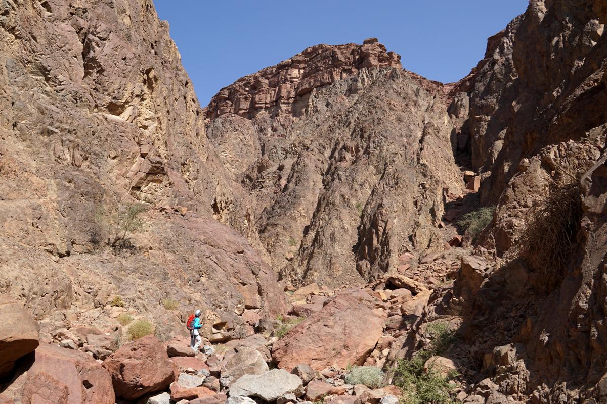
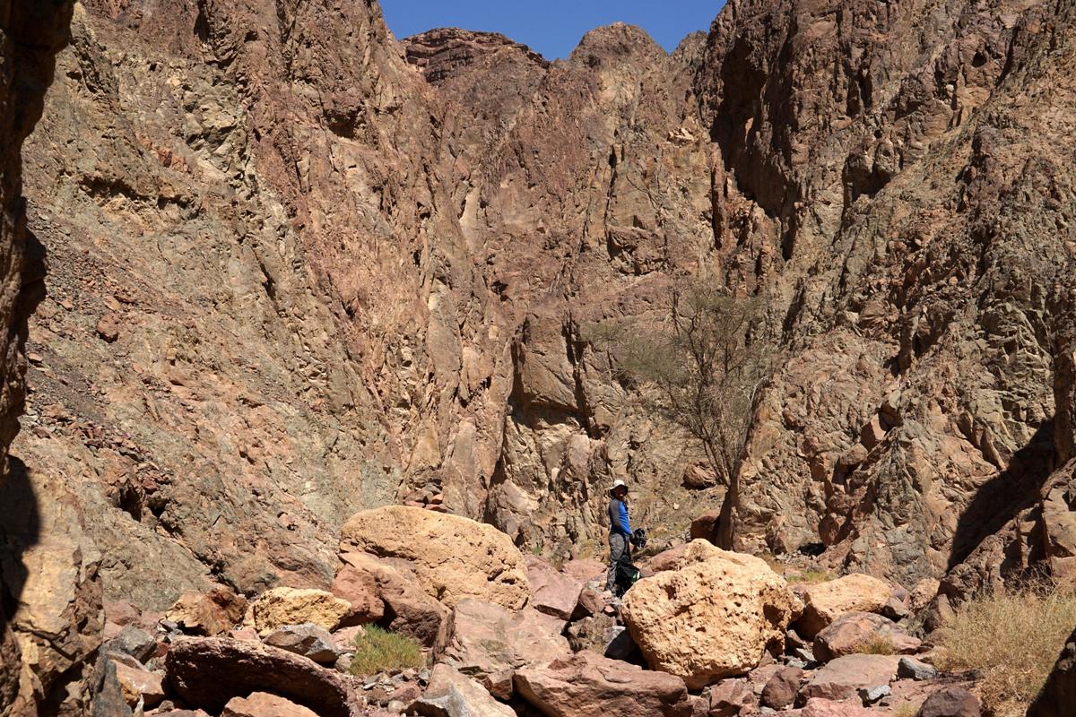
Walk about 100m down the canyon (stop
some 200m before the border fences). There was a big cairn as on March 2016
marking the start point to climb out of the canyon
(GPS: 29º 34' 24.0"N 34º 52' 31.9"E).
|
|
Start point to climb out of the canyon (looking in the
last dry fall direction) |
|
The border fences |
|
|
|
|

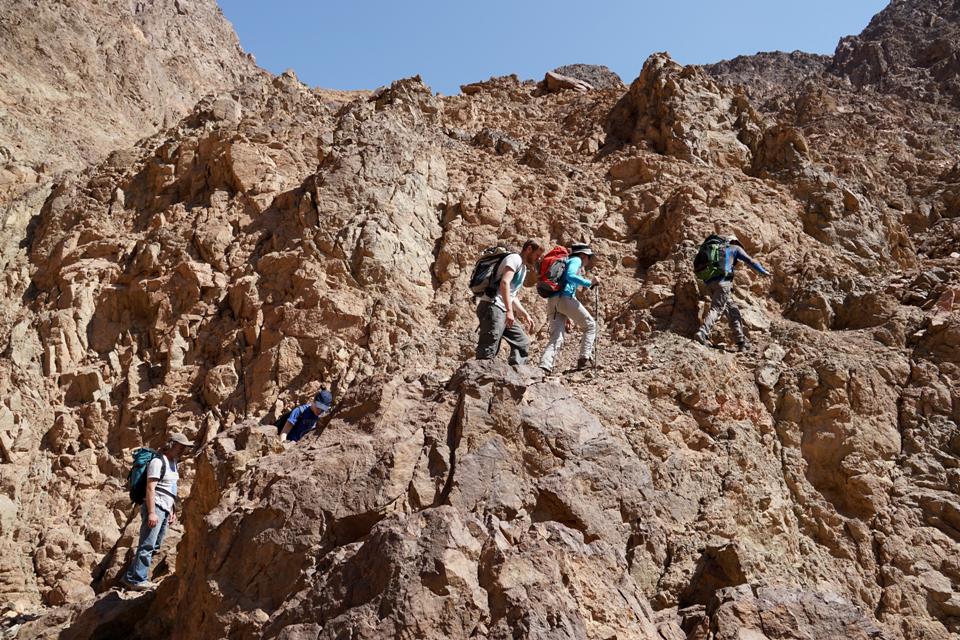
Climb the left wall of the canyon through
steep scree slopes (150m of height gain, be careful!) to the marked trail (blue marks
& marks of the Israel National Trail).
Once on the marked trail (GPS: 29º
34' 21.5"N 34º 52' 37.1 "E), follow it to your parking spot at
the main road (2km).
|
|
Climbing out of the canyon |
|
Climbing out of the canyon |
|
|
|
|
***** - The only one of its kind. A "must
do" trip!
**** - Very interesting, highly recommended!
*** - Pretty nice
route.
** - Inexpressive
one.
*
- Do it if you have nothing to do...