Nahal Tahmas

The route type:
Rappelling trip.
The canyon is dry all the year round but be wary about floods during winter rains.
When the technical part of the canyon is
over, a number of options exist to complete the trip. The following description
refers to the most obvious and logical option: you can follow the wadi of lower nahal Tahmas till the intersection with “black” trail (point 2 on
the map below). From this point you can come back to the main road (road number
25) following this marked trail. The trail climbs along nahal
Tahmason all the way (don’t confuse nahal Tahmason with nahal Tahmas! These are two
different canyons!).
Much more “costly”, but in the same way
much more worthwhile option is to follow marked trails till “Gabei Peres”. From here you can continue through the lower
nahal Peres rappelling route.
Getting there:
Drive on the road number 25 (Dimona – Tsomet Arava) till the sign “Metsad
Tamar” (watch “118km” road distance mark as well).
Drive as to “Metsad Tamar”, park your car and descend
into an obvious wadi which starts right below the
road and leads to east (point 1 on the map below). This is nahal
Tahmas.
|
|
|
|
|
|
|
|
|

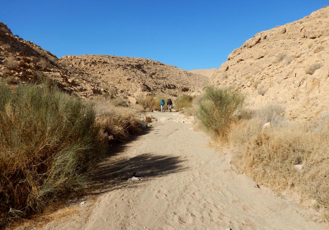
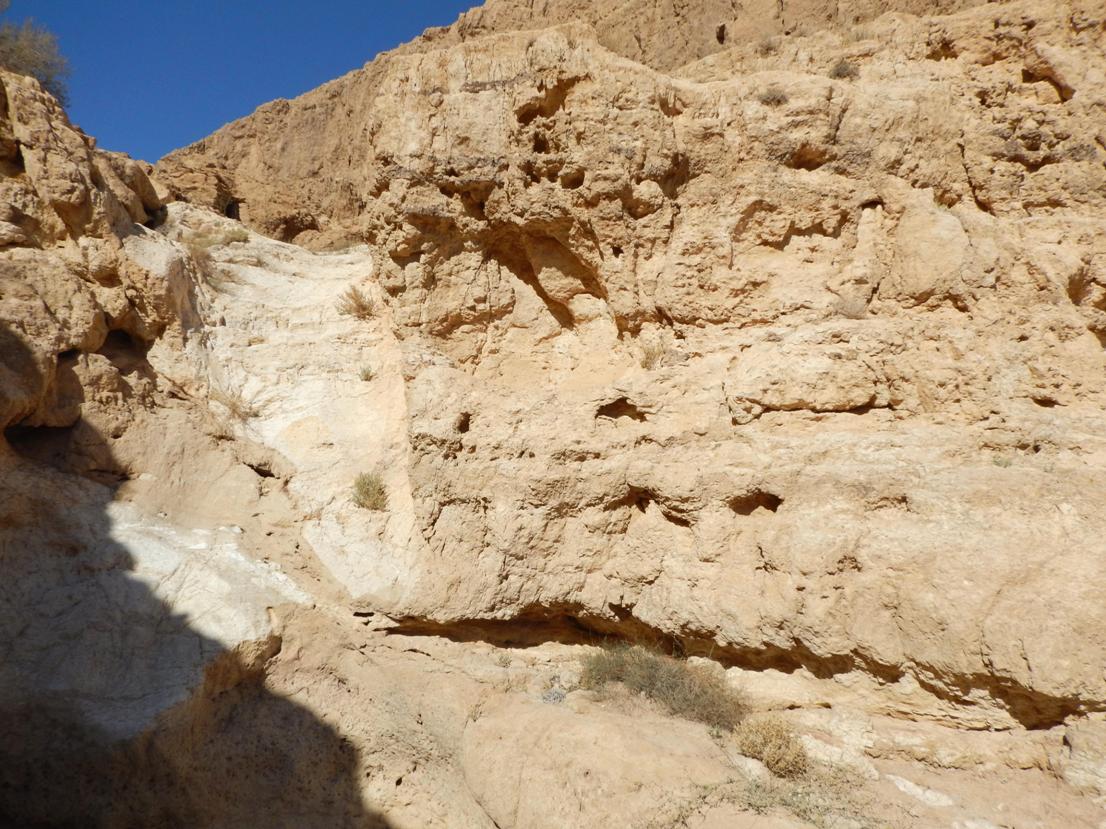
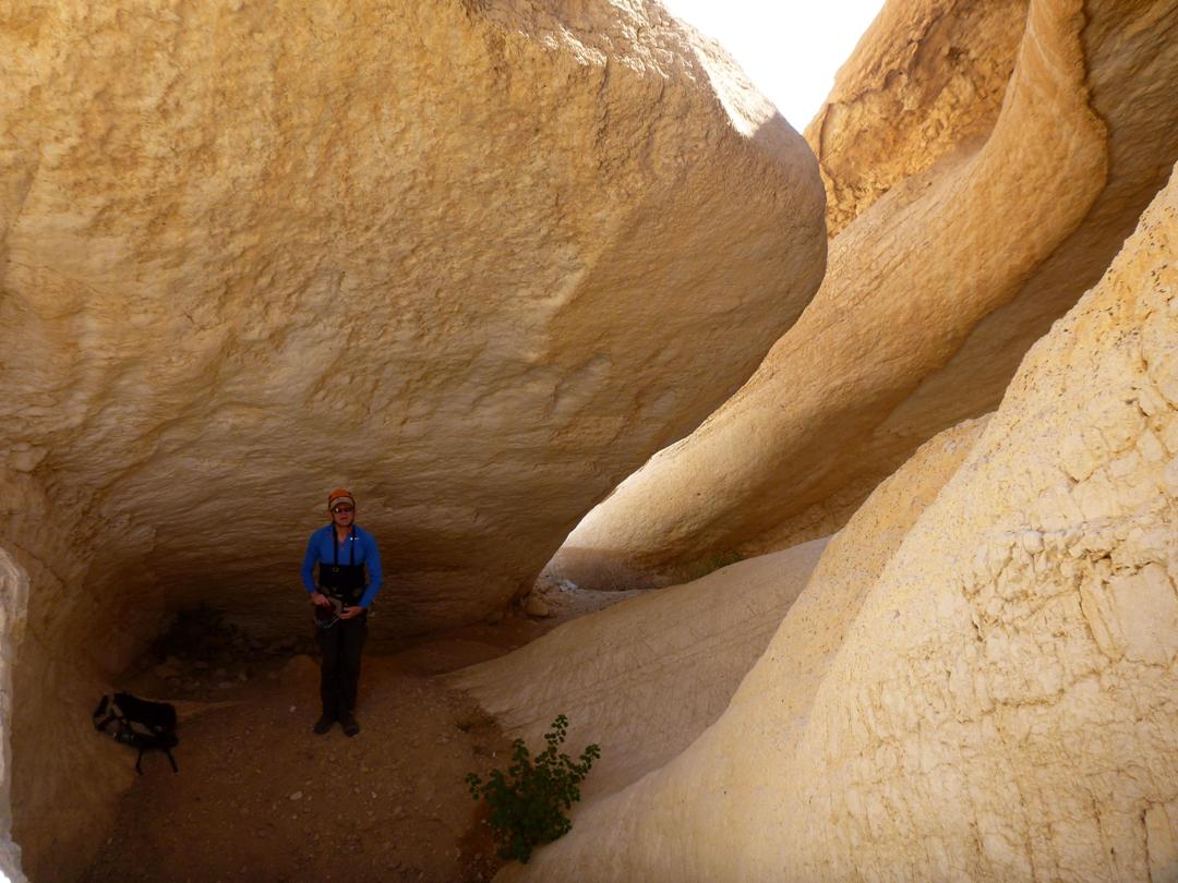
The first 1.8km of the route is a flat wadi, sandy in places, which is very easy to walk. After
that the canyon narrows and starts to be more rugged, rocky steps appear.
One more kilometer of walking and easy
scrambling down the canyon will bring you to the first dry fall. Actually, it
is the only serious and unavoidable rappelling spot of the route.
|
|
Walking the first part of nahal
Tahmas |
|
It starts to be "more rugged" |
|
|
|
|

Route description:
There are up to 2 dry falls which
should be abseiled:
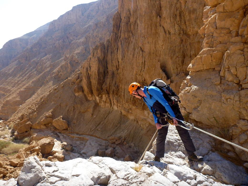
1.
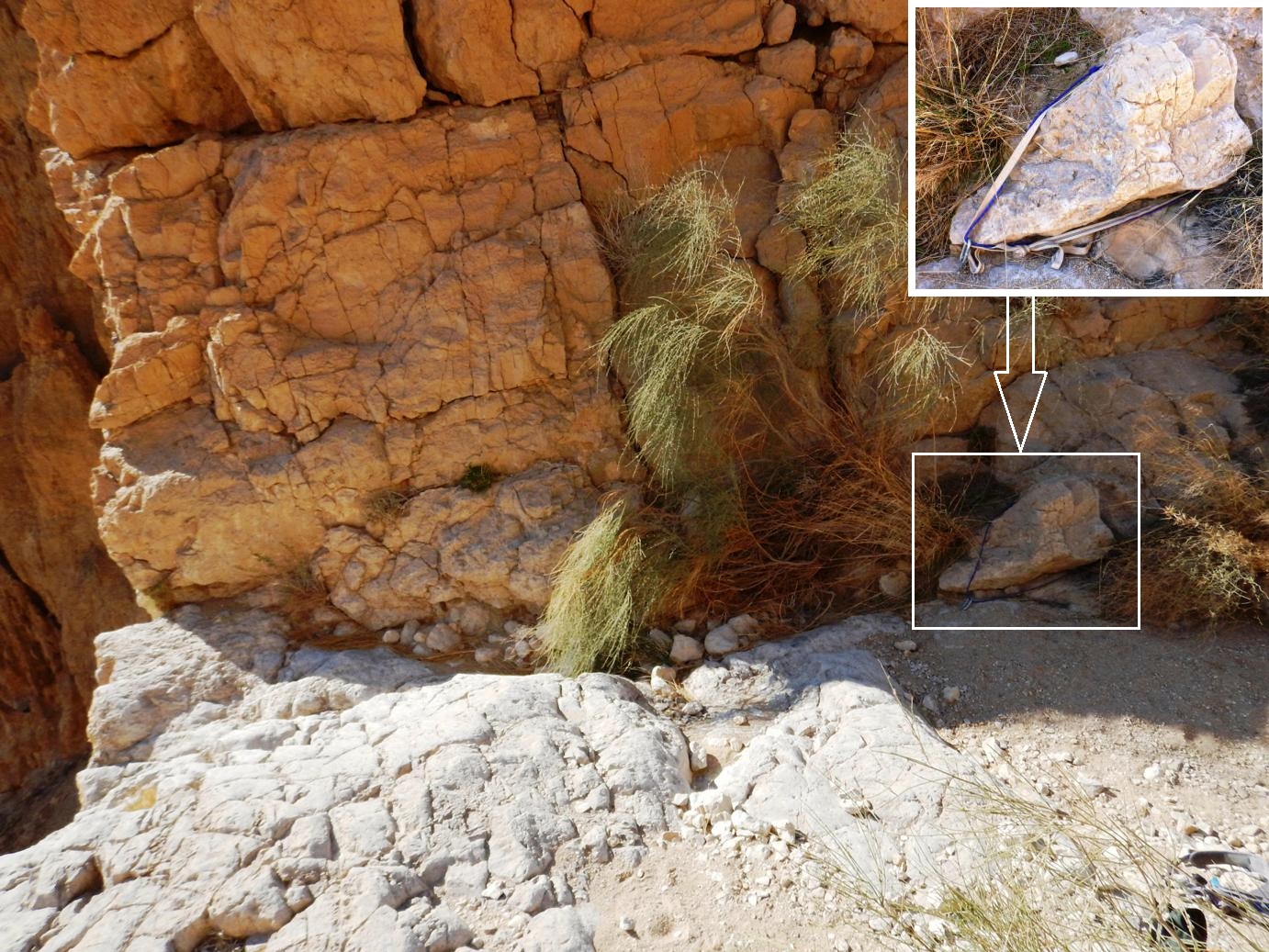
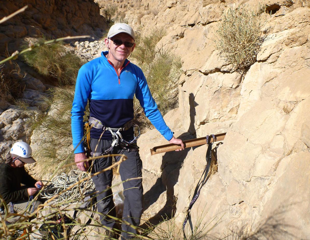
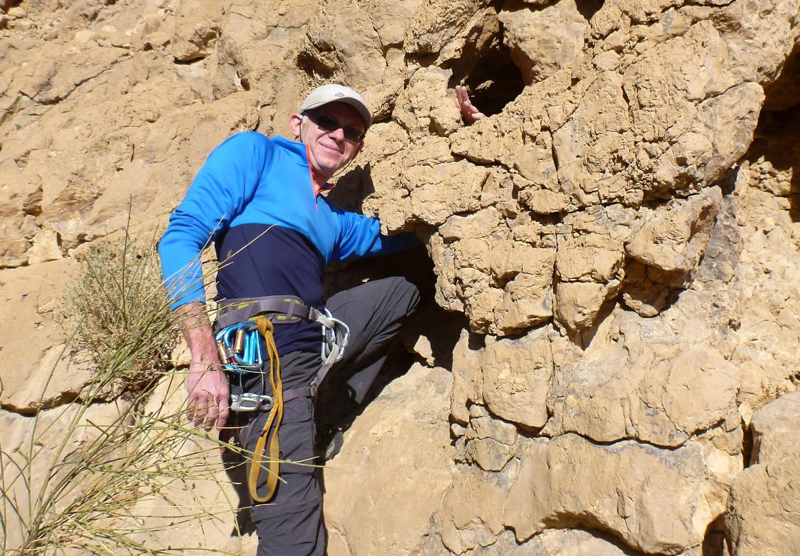
26m (4m from the station to the edge, 6m vertical and then overhanging)
There are at least three reliable options
for anchoring some 4 to 5 meters from the edge: a boulder on the right side of
the canyon floor, a steel bar, hammered into the left wall and a very big
through hole in the left wall.
|
|
The 1st rappelling station: "the boulder" |
|
The 1st rappelling station: "the steel bar" |
|
The 1st rappelling station: "the through
hole" |
|
|
|
|
The 1st dry fall |
|
The 1st dry fall |
|
The 1st dry fall |
|
|
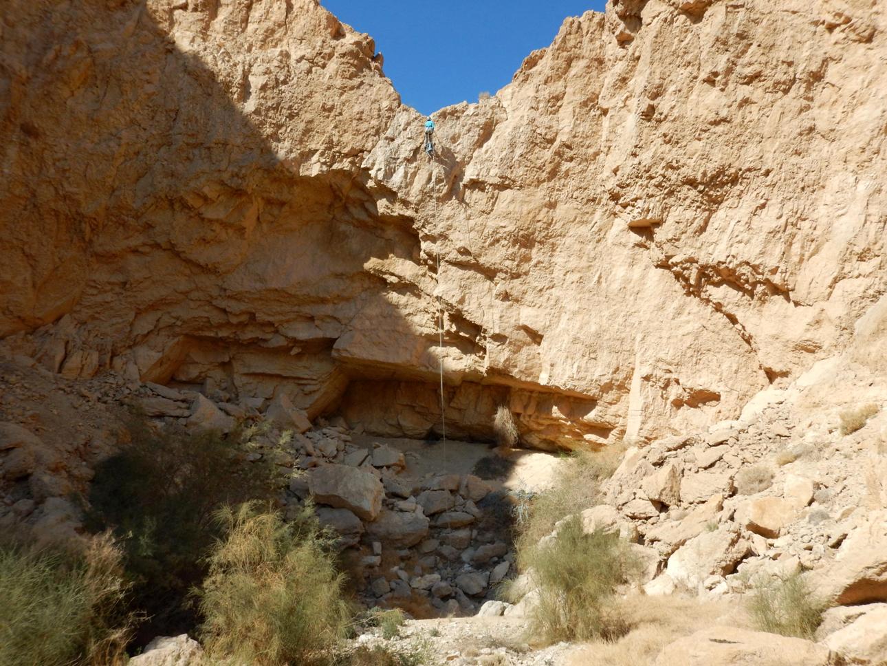
200m further from the base of this dry fall you come to another
dry fall some 10m high. It should be
bypassed from the left side: go to the left a couple of tens of meters and then
climb down. Be careful!
|
|
A view from the 10m high dry fall |
|
The bypass |
|
The bypassed dry fall |
|

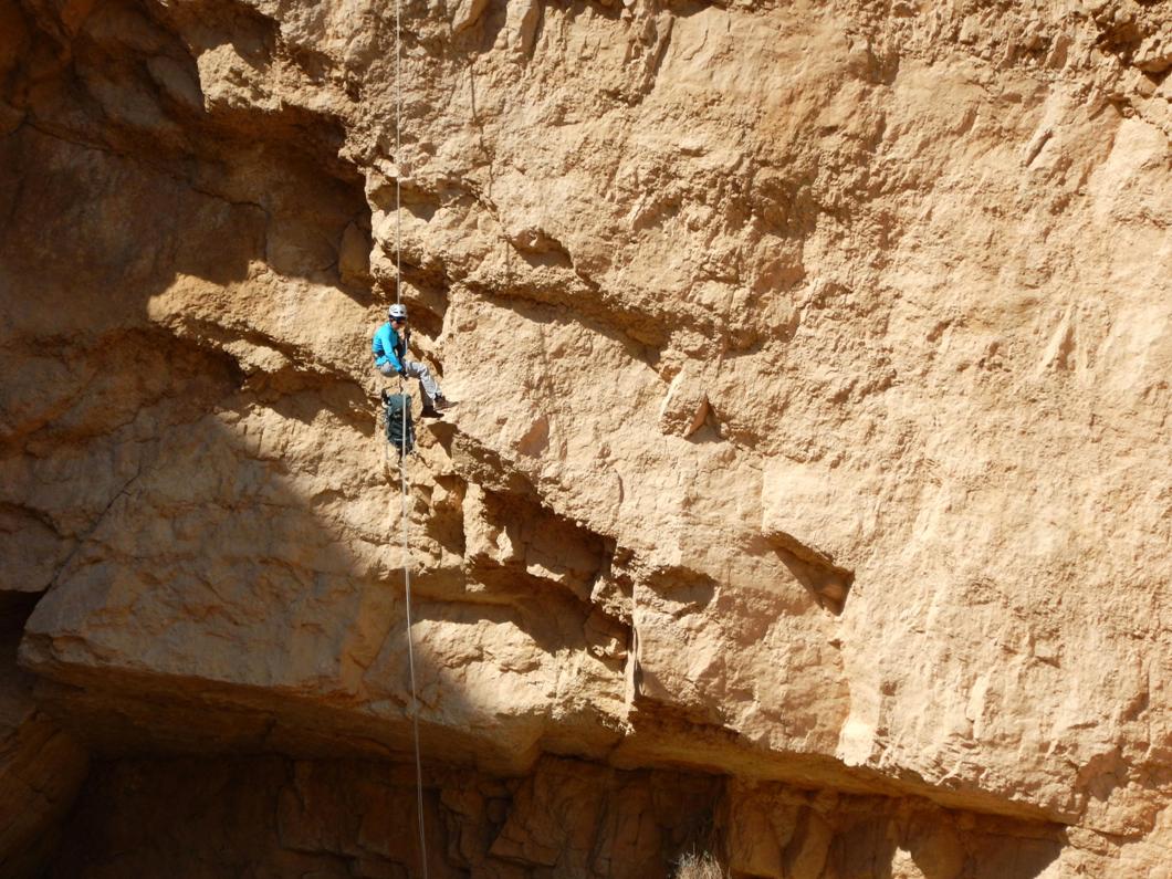
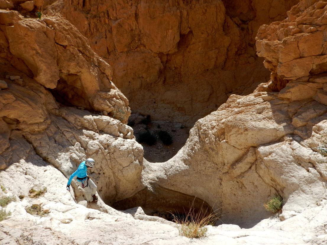
650m of walking will bring you to a spot
where the canyon turns left sharply (it looks like a "dead end" from
a distance). 80m further is the next dry fall that can be (or even should be)
partly rappelled. It is a two-step (5-6m and about 4m) drop with a large pit
between steps. You should climb down to the pit from the left side because
there are no good options for anchoring above the first step. The second step
can be either rappelled or climbed down (not easy).
2. 4m (vertical), 11m if measured from the
through holes in the pit.
There are multiple through holes on the
wall of the pit which is opposite to the second drop. As mentioned above, the
second drop can be climbed down - especially by the last participant, which can
be spotted from below.
|
|
The two-step dry fall with a pit |
|
The rappelling station in the pit |
|
Rappelling from the second step |
|
|

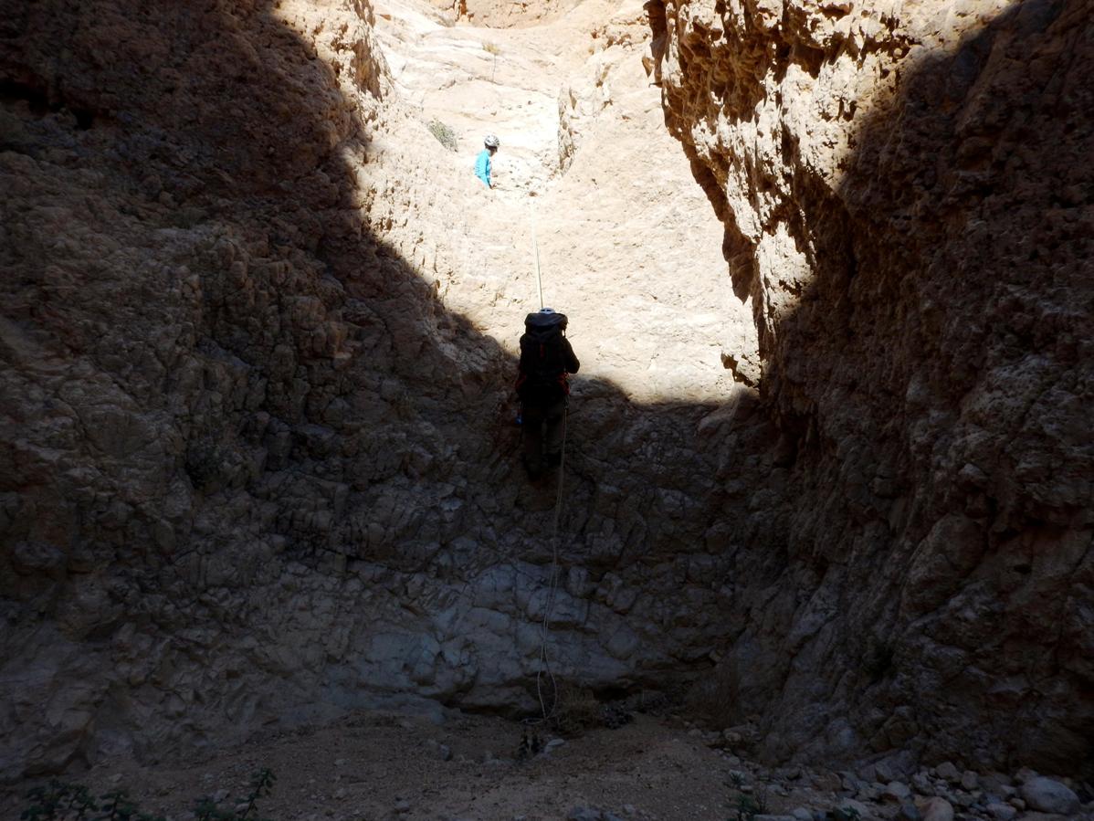
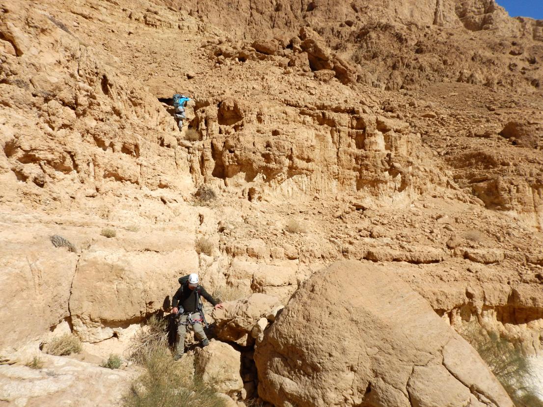
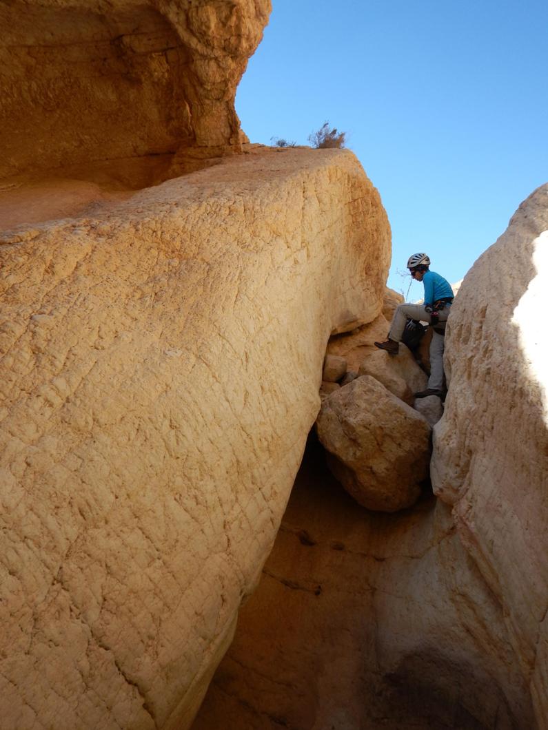
200m further down the canyon
you come to a small drop with stuck boulders.
It can be negotiated in two ways: you can either climb down here (not easy) or
scramble up to the right and then descend along a big slab. It is the beautiful
spot down here anyway!
|
|
Descending along a big slab |
|
Climbing down |
|
|
|
|
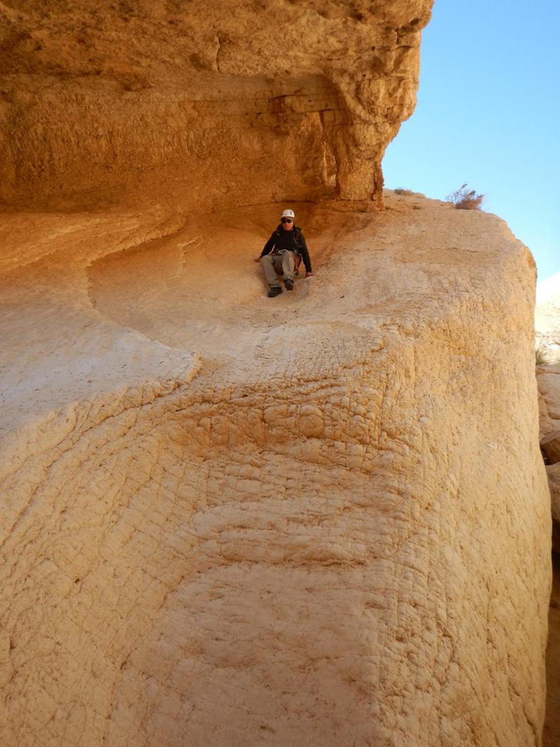
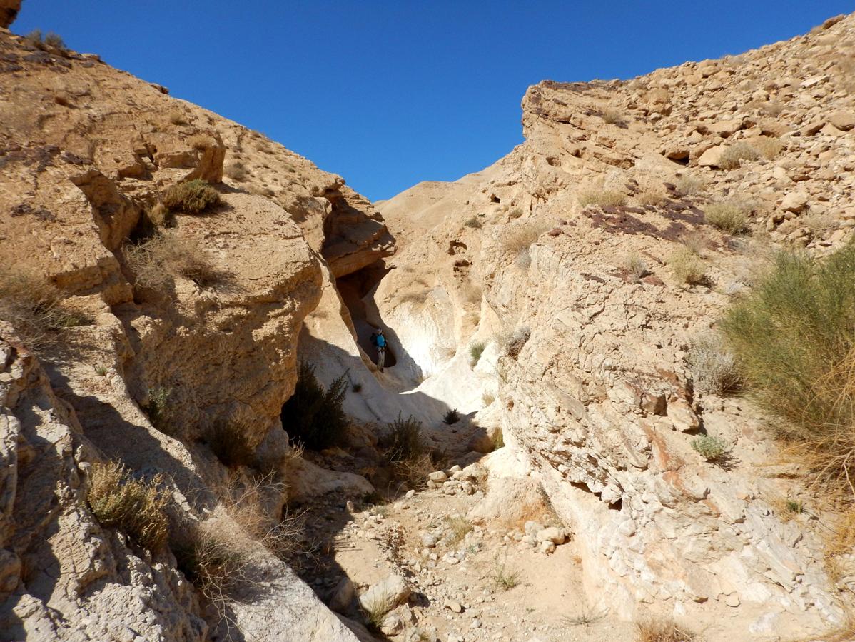
Some 70m after this drop the canyon
widens finally. It marks the end of the technical (and any…) difficulties.
|
|
|
|
|
|
|
|
|
Walk along the wadi
700m till the intersection with the “black” trail (point 2 on the map). Leave
the wadi and follow the trail which leads up the
canyon of nahal Tahmason
till the main road (3km with 300m height gain).
.
***** - The only one of its kind. A "must do"
trip!
****
- Very interesting, highly recommended!
*** - Pretty nice
route.
** - Inexpressive
one.
* - Do it if you have nothing to
do...